The objective
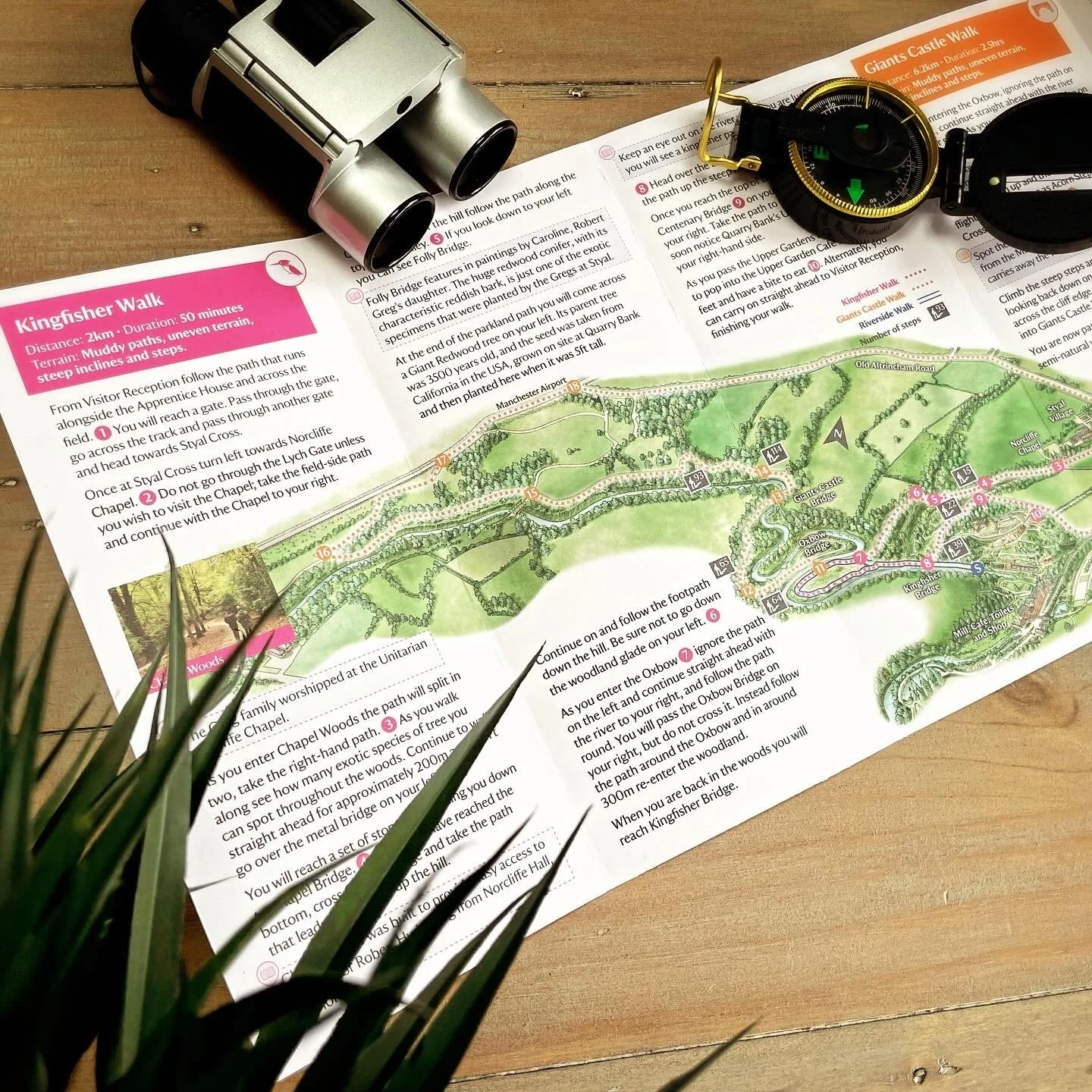
Create an accesible map that guides visitors around the estate
Quarry Bank Mill
Process:
Map design
Application:
Print, social media and signage.
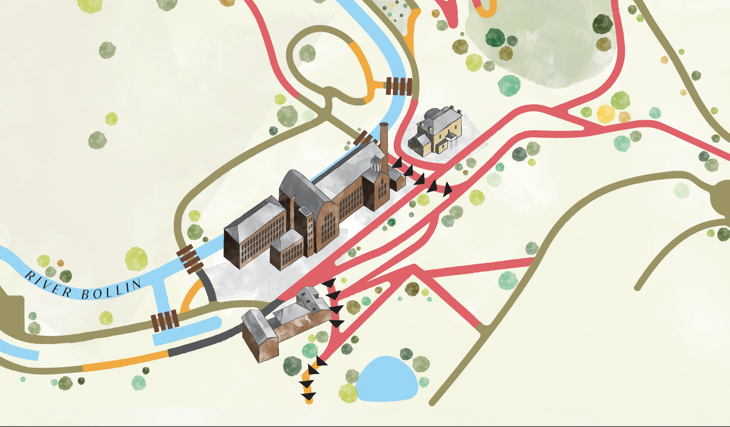
Quarry Bank Mill in Styal, Cheshire is one of the best preserved textile factories of the Industrial Revolution. Built in 1784, the cotton mill is recorded in the National Heritage List for England as a designated Grade II* listed building. National Trust approached me to design a new, accessible map for their visitors. The design needed to be clean, clear and functional but have some of the same qualities as their original watercolour map.
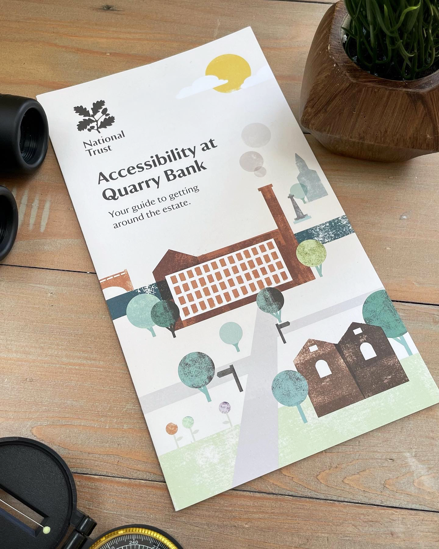
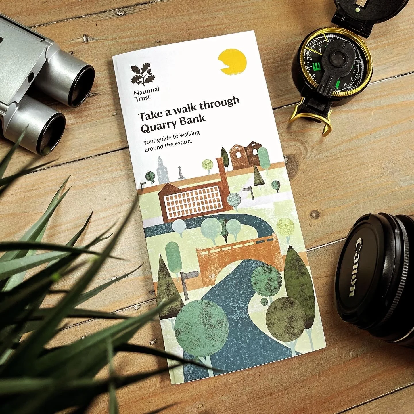
The map is primarily used as a handout given to visitors on request. The front illustration of the handout is composed of ink-rolled texture and modular graphics representing the various paths around the estate.
“Accessibility is key for this map.
Clear defined routes and high-contrast iconography makes navigation that bit easier for the reader.”
Styling
A watercolour application was applied to the hand-drawn buildings giving the map a sense of character without compromising on accessibility.

